
Polar Orbiting Environmental Weather Satellite Imagery
APT Satellite Telemetry NOAA POES Weather Satellite
Current Satellite Orbit Location
Select satellite here
Weather satellite receive location: Grid CM97qi
Receiver: R-139 5 channel APT VHF scanning receiver
Antenna: Tall Narrow Quadrifilar Helix ( QHA )
Sub carrier signal processing software: WXtoimg
RF signal format: 38 KHz FM carrier with 2400 Hz AM modulated sub carrier
World and color maps provided by various other links on this page
Current Weather Fronts and Radar Summary
![]()
Pacific Standard Time is UTC - 8 hours
( Window below can be scrolled up and down for more images by placing mouse inside window and using scroll wheel )
Window below contains approximately 3 days of previous satellite images
Latest POES ( Polar Orbiting Environmental Satellite ) Status
Current Severe weather watches and warnings ( click on a location of interest below )

Current Hurricane and Tropical Storm Locator Map
( See GOES weather pictures below to locate Hurricanes and Typhoons )

Current Temperature Summary
![]()
Western Atlantic GOES VIS

Western Atlantic GOES IR

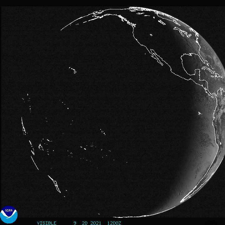
Eastern Pacific GOES IR

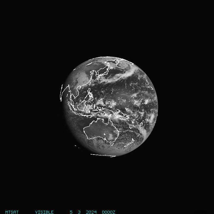
Western Pacific GOES VIS
Western Pacific MTSAT IR

Western Pacific MTSAT VIS
Indian Ocean MeteoSat VIS
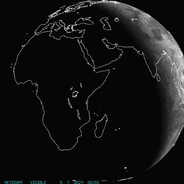
Indian Ocean MeteoSat IR

Eastern Atlantic MeteoSat IR

Eastern Atlantic MeteoSat VIS
